Terrain in a Box
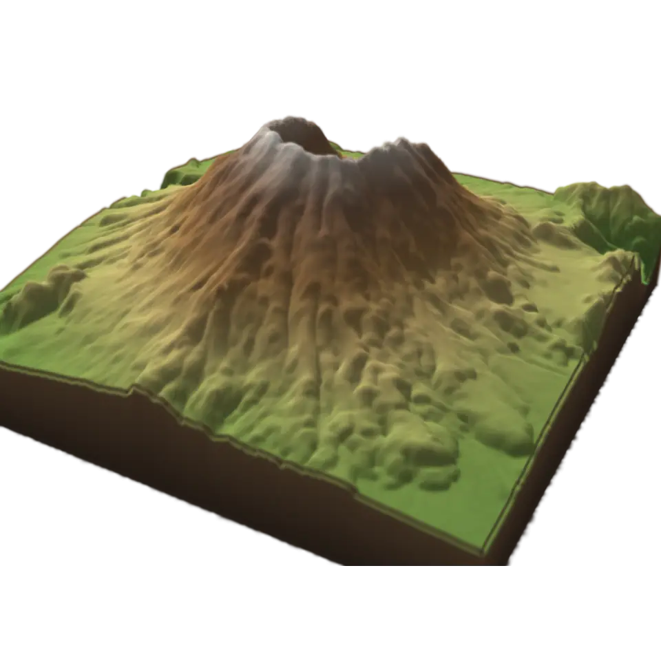
Geological Survey's measured heights for Mount St.
This picture is a cloud of paint. You can , , , , , , and .
Paint with your finger. It stays on these splats, wherever they go next.
Your paint is on this cloud. to see the sharp picture.
- Shelf
- Science
- Kind
- Built from a recipe
- Your own
- About this land
- Sound
- Yes
- Licenses
- Public domain
How to play
Tap to fill the land with water; tap again to drain it. Pick a place in the Splash tab.
Its controls
| Control | Kind | Range | Start |
|---|---|---|---|
| Fill it with water | Tap | ||
| Fill with water | Switch | Off | |
| Place | List | 3 choices | Mount St. Helens |
| Height | List | 3 choices | Stretched 2× |
| Contour lines | Setting |
About it
This is real land in a box: the U.S. Geological Survey's measured heights for Mount St. Helens, the Grand Canyon or Yosemite Valley, a square about 10 km across with a sample every 35 m. Each sample is a small splat, tinted by height and shaded by the sun, and the box's walls show the land cut through.
Tap to fill the land with water to a level and watch which valleys flood first, then tap to drain it. It is a level rising, not a model of how real floods flow. Choose the place, stretch the heights to see gentle slopes, and turn on contour lines. The Contour lab next to it shows how those lines are made.
Details
- Splats
- Opens at 200,000 at Mid Detail, 60,000 at Low, and up to 200,000 at Max
Sources and credits
| Work | By | License |
|---|---|---|
| Mount St. Helens: USGS 3DEP 1/3 arc-second elevation, a square averaged to 256 × 256 samples | U.S. Geological Survey, 3D Elevation Program (The National Map) | Public domain (USGS 3D Elevation Program) |
| The Grand Canyon: USGS 3DEP 1/3 arc-second elevation, a square averaged to 256 × 256 samples | U.S. Geological Survey, 3D Elevation Program (The National Map) | Public domain (USGS 3D Elevation Program) |
| Yosemite Valley and Half Dome: USGS 3DEP 1/3 arc-second elevation, a square averaged to 256 × 256 samples | U.S. Geological Survey, 3D Elevation Program (The National Map) | Public domain (USGS 3D Elevation Program) |
Share it
This link opens it in the Playground. To put it on your own page, add the element and one script tag. Every option.
https://splashery.app/play/?toy=terrain-box
<script type="module" src="https://splashery.app/play/src/element.js"></script>
<splashery-toy toy="terrain-box"></splashery-toy>
Nearby
 Contour LabA contour line joins places at the same height, and a map with them shows a 3D shape on flat paper.
 Thermal EllipsoidsCrystallography describes an atom's average position and spread with a displacement tensor.
 Super-Res MicroscopeOrdinary light microscopy struggles to separate nearby objects about 200 to 300 nanometers apart.
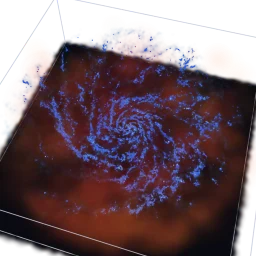 Galaxy in a BoxGalaxy simulations follow gas and stars as particles.