Earthquakes
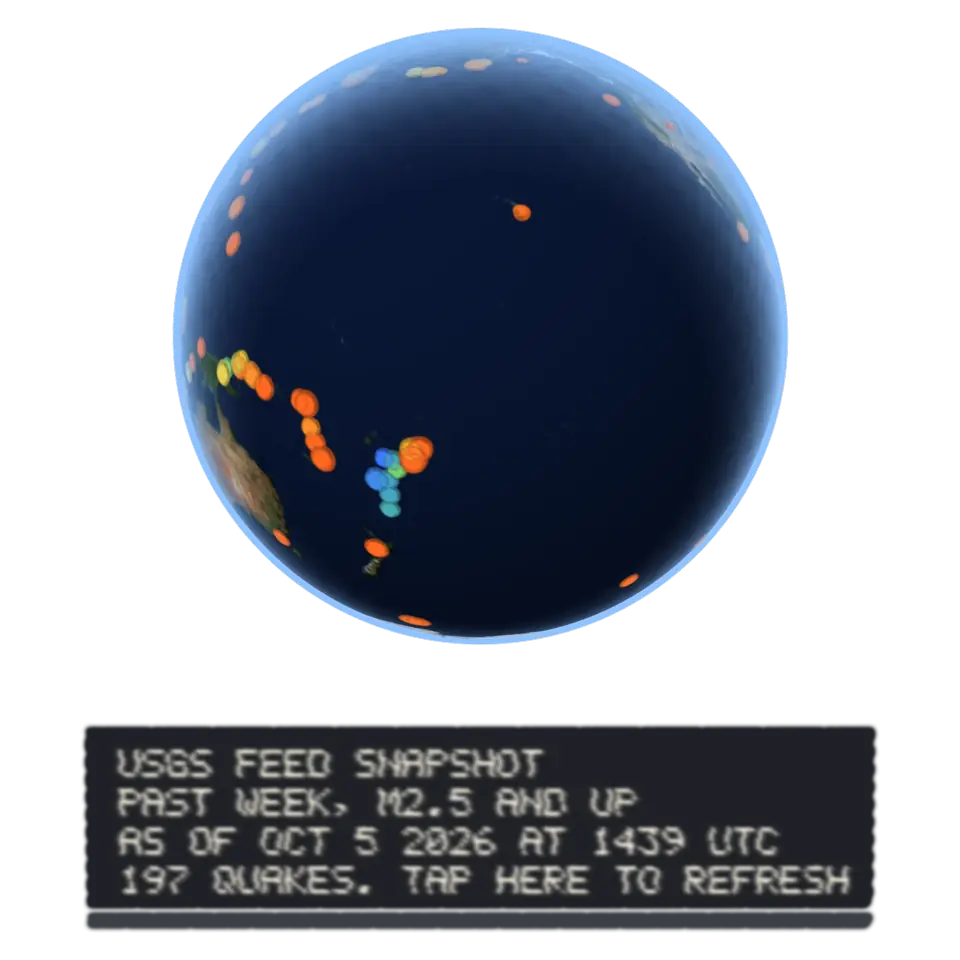
Geological Survey publishes the earthquakes it has located around the world.
This picture is a cloud of paint. You can , , , , , , and .
Paint with your finger. It stays on these splats, wherever they go next.
Your paint is on this cloud. to see the sharp picture.
- Shelf
- Earth and Maps
- Kind
- Built from a recipe
- Sound
- Yes
- Licenses
- Public domain
How to play
Tap to play the quakes in time order. Tap the plaque to refresh the live feed.
Its controls
| Control | Kind | Range | Start |
|---|---|---|---|
| Play the quakes in time order | Tap | ||
| Play the quakes | Button | ||
| Earthquakes | List | 3 choices | Past week, magnitude 2.5 and up |
About it
Every day the U.S. Geological Survey publishes the earthquakes it has located around the world. This globe, in the true colors of NASA's Blue Marble pictures, reads its feed when the splash opens: each dot is a quake, bigger for a stronger one, colored by depth (red and orange shallow, yellow and green deeper, blue deepest). Most lie along the edges of tectonic plates, such as the Pacific's Ring of Fire facing you.
Tap the globe to play the quakes in time order: each flashes at its moment. Tap the plaque to fetch the feed again; it shows when the data was fetched. Pick the past week, the past month or a year of the catalog in the Splash tab. If the feed can't be reached, the splash shows a saved snapshot and says so. Nothing is stored or sent.
Details
- Splats
- Opens at 200,000 at Mid Detail, 210,319 at Low, and up to 1,000,000 at Max
Sources and credits
| Work | By | License |
|---|---|---|
| USGS earthquake feeds | U.S. Geological Survey | Public domain |
| ETOPO1 Global Relief Model | NOAA National Centers for Environmental Information | Public domain |
| Blue Marble: Next Generation (true color), through NASA GIBS | NASA Earth Observatory | Public domain |
In The Splash Manual
Share it
This link opens it in the Playground. To put it on your own page, add the element and one script tag. Every option.
https://splashery.app/play/?toy=earthquakes
<script type="module" src="https://splashery.app/play/src/element.js"></script>
<splashery-toy toy="earthquakes"></splashery-toy>
Nearby
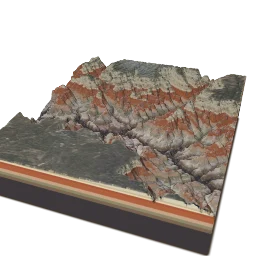 Grand CanyonThe Grand Canyon in Arizona is about 1,800 meters (a mile) deep, cut by the Colorado River over the last five or six million years through layers of rock laid down over almost two billion years.
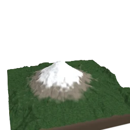 Mount St. HelensHelens, a volcano in Washington State, erupted on May 18, 1980.
 The Sea FloorThe Mariana Trench in the western Pacific is the deepest place in the ocean: its Challenger Deep is nearly 11 kilometers (about 7 miles) down.
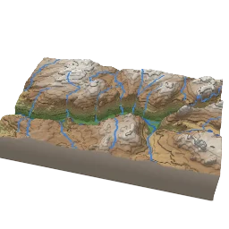 Relief MapA relief map shows the shape of the land.